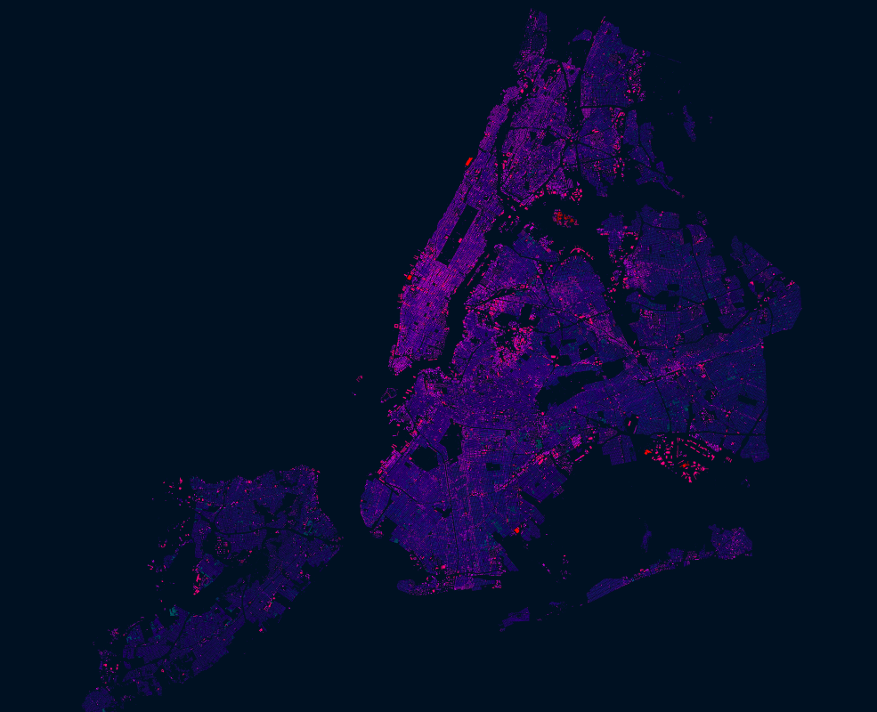
NYC had an import of over 1 million building footprints and 900,000 addresses in 2014 from the New York City Department of Information Technology and Telecommunications (DoITT). The DoITT GIS releases an updated shapefile of the footprints every quarter, and the latest version can be accessed here: Building footprints | Address points
Open datasets like these are a great opportunity to explore how OSM can be used as a bridge between authoritative information and that crowdsourced by citizens. Two years after the import, it is interesting to see how the OSM data compares with the latest official footprints. The interesting questions to ask is:
- What has improved in the DoITT footprints that can be updated in OSM?
- What has
